TOPOGRAPHY AND HABITAT
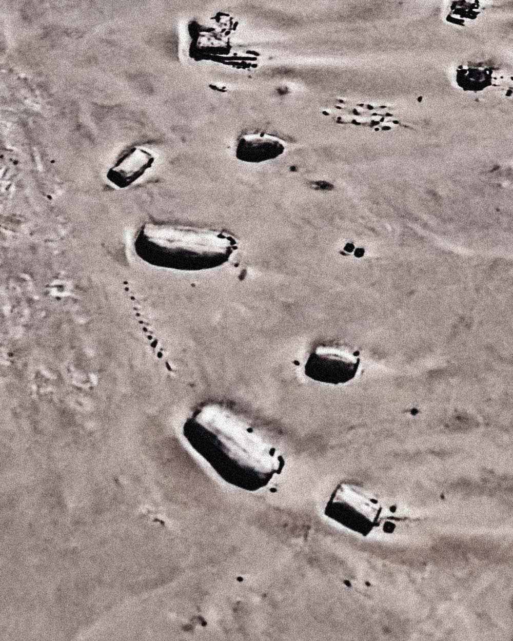
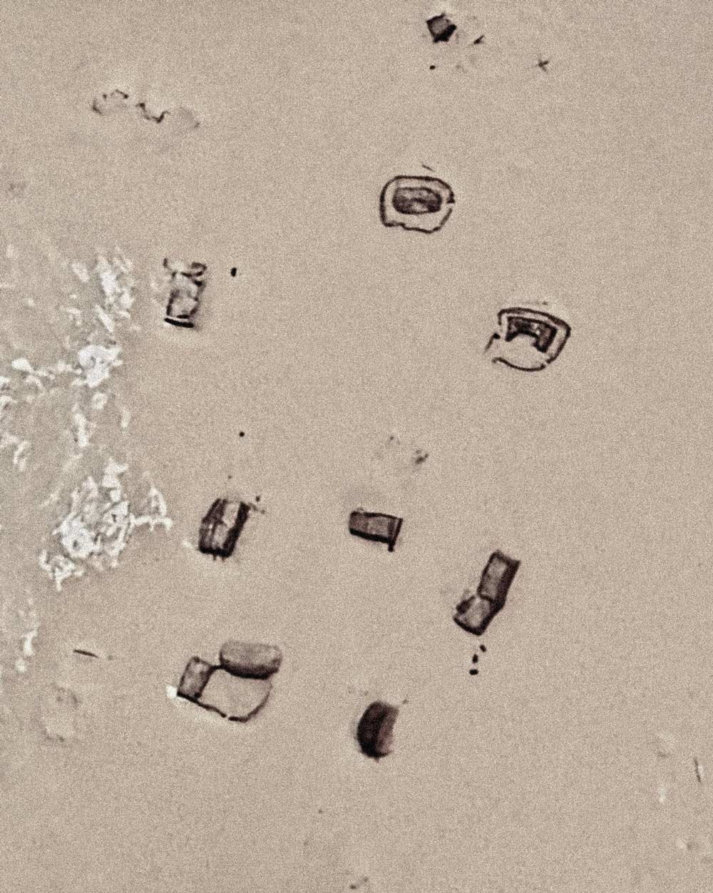
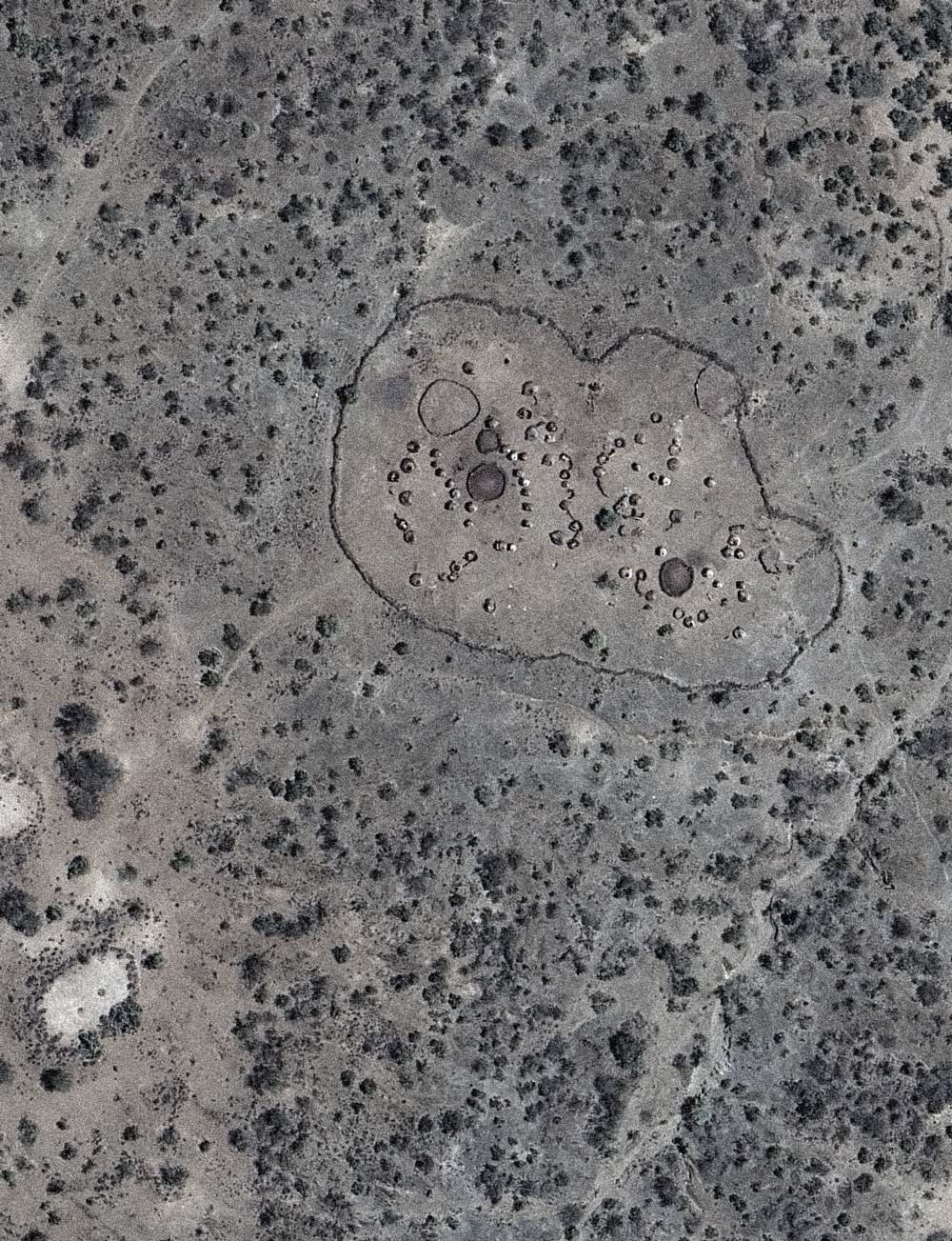
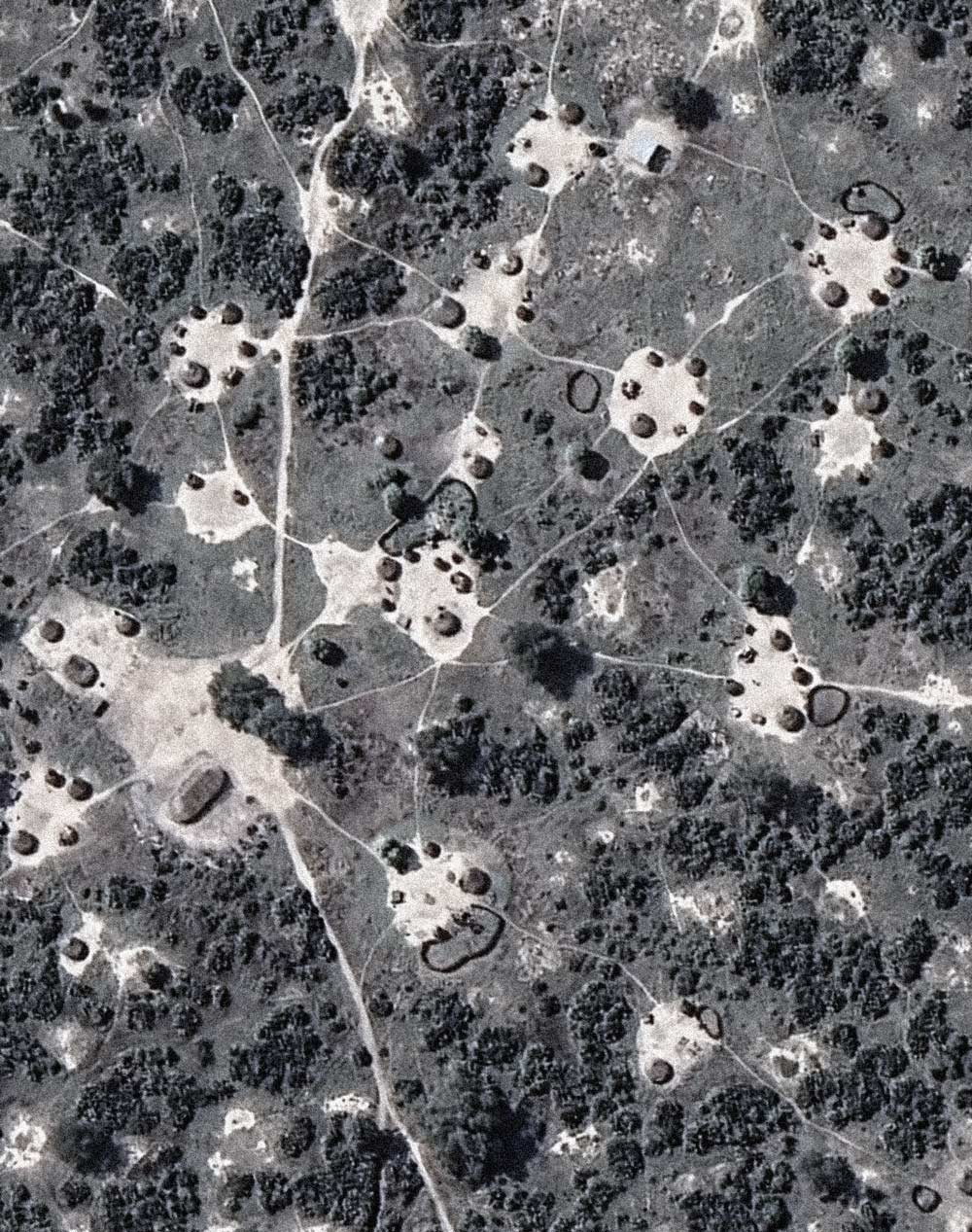
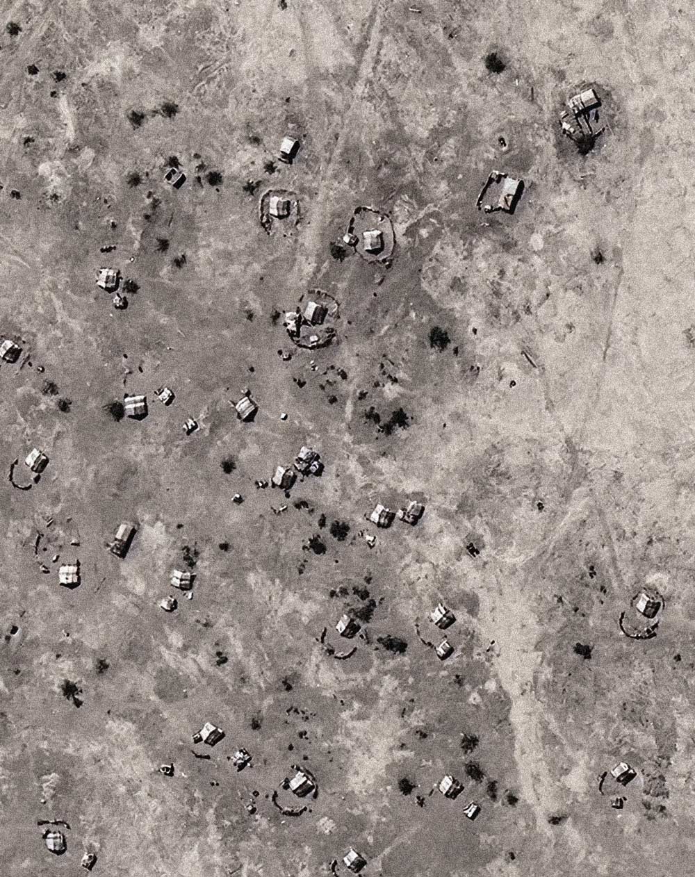
The aerial views depict settlements within savannah and desert landscapes. Each image focuses on a site where photographs of huts and tents were made in South Sudan, Ethiopia, Sudan, and Chad.
The images are reworked studies based on satellite imagery and aerial photographs, developed through visual research and fieldwork undertaken in preparation for the photographic projects on location. They correspond closely to the photographs presented in WORKS, as the individual sites can be identified through distinctive landmarks in the landscape and geospatial data.
The images are further informed by paths and traces of human activity that connect the structures to one another. The ground surrounding the huts and tents reveals an infrastructure of movement and communication shaped by their inhabitants. These traces vary according to the terrain.
In the savannah landscapes of South Sudan, paths become inscribed in the ground and remain visible even long after a settlement has been abandoned. In the first image of the series depicting the Toposa settlement, a circular trace visible in the ground marks the site of an older, abandoned village.
In the sandy deserts of Chad, by contrast, the paths leading to the tents are repeatedly covered by windblown sand. Here, traces of human passage are barely visible.
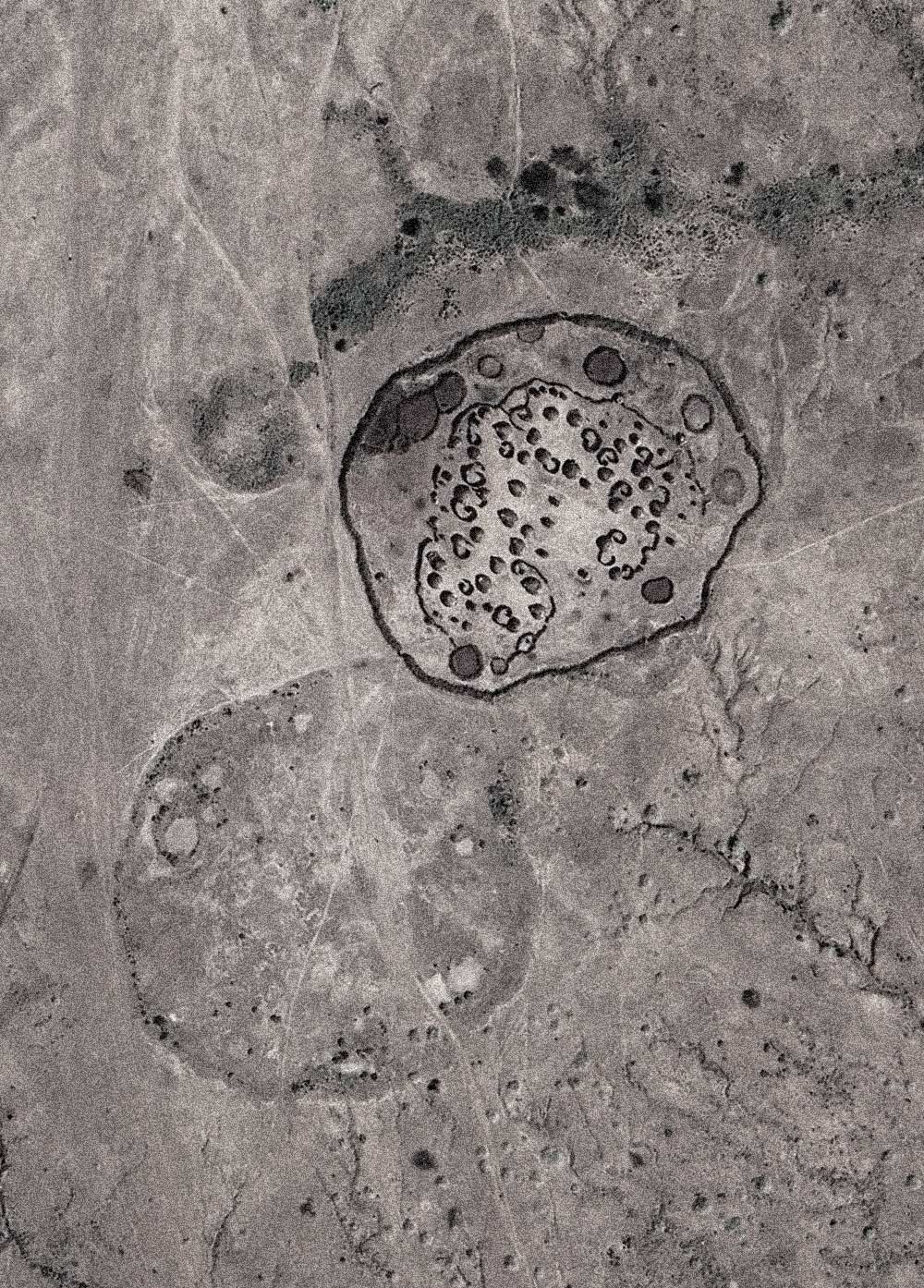
Toposa settlement near Lokalyan, South Sudan, Eastern Equatoria Region,
WORKS: NEIGHBOURHOODS
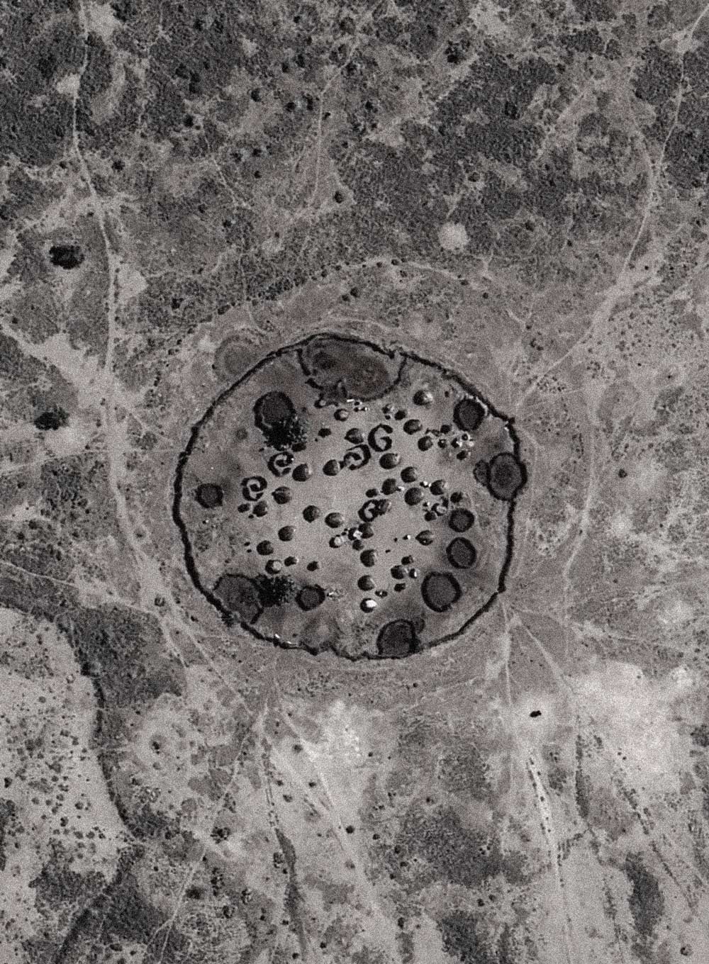
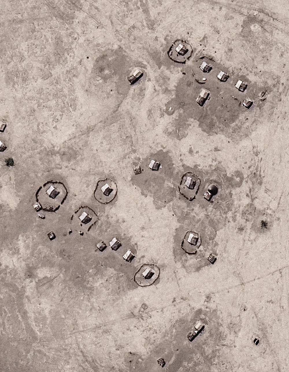
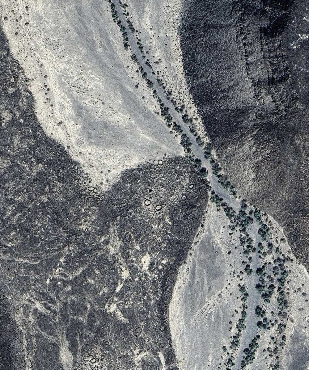
Nomadic Afar settlement with tents in the Danakil Desert, Ethiopia, Afar Region,
WORKS: NARROW ENTRANCES